La Croix de Sulens - Walking itinerary

Hard
7h05min
16.4km
Loop
+1239m
-1239m
La Croix de Sulens - Walking itinerary image1La Croix de Sulens - Walking itinerary image2La Croix de Sulens - Walking itinerary image3La Croix de Sulens - Walking itinerary image4La Croix de Sulens - Walking itinerary image5
1 / 5

Description

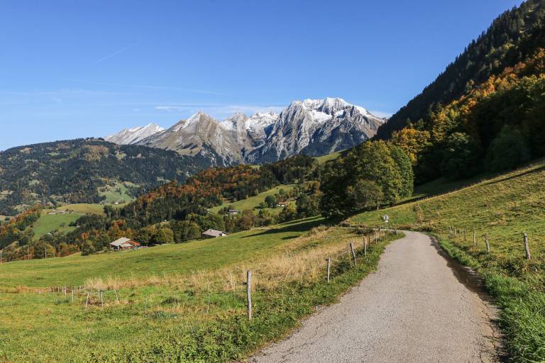
Discover the crests of the Montagne de Sulens.

The orientation table at the summit, with panoramic views of the Aravis mountains, Mont Blanc, the Bornes massif and the Bauges.

Marking

Beige panels.

Map references

TOP 25 IGN 3531OT - MEGEVE

Amenities

Guided steps

1/ From Le Bouchet-Mont-Charvin, head towards Col de la Botte. 2/ Reach Le Bouchet-Mont-Charvin (upstream), take the path through the meadows to reach L'Arbelot. Continue through the undergrowth to Le Cernix (south) and climb to Attrape qui Peut (east) on a path and then a track. 3/ Follow the track to La Tête then Col de la Botte. From the Col, head towards Sommet de Sulens. Follow the path up to the Montagne de Sulens crest, then climb up through Petit Sulens and Col de Sulens to reach Sommet de Sulens. 4/ Cross the crest to Croix de Sulens. Return to Le Bouchet by the same route.

Address
Parking centre village, 74230, Le Bouchet-Mont-Charvin
Opening
From 15/05 to 15/09 daily. Subject to favorable snow and weather conditions.

Was this content helpful to you?

Address
Parking centre village, 74230, Le Bouchet-Mont-Charvin
Opening
From 15/05 to 15/09 daily. Subject to favorable snow and weather conditions.