
La Plaine du Fier rive Gauche - MTB Cross-Country route no. 35RG


Description
You'll evolve in an alpine river ecosystem with its flora and fauna, a veritable biological corridor, flowing at the bottom of a majestic glacial valley bordered by the Glières massif and the Cruet.
The Plaine du Fier can be reached from a number of easily accessible parking lots. These include the D909 between Thônes and Alex and the D216 between La Balme-de-Thuy and Dingy-Saint-Clair.
The left bank of the Plaine du Fier offers a woodland trail, ideal for summer walks. The many natural beaches along the Fier make for a refreshing swim and a perfect spot for a picnic, either on the beaches or on the tables set up for the purpose.
A few kilometers away is the Écomusée du Bois et de la Forêt, where you can learn all about woodworking in the mountains. And don't forget to stop and admire the chapels and churches that adorn the landscape. From the Plaine du Fier, dozens of footpaths take you to the heights to change your viewpoint: Talamarche and Lake Annecy, La Tournette, the Plateau des Glières and its feats of arms...
And don't forget to head to Thônes to shop for local produce, including the famous Reblochon Fermier!
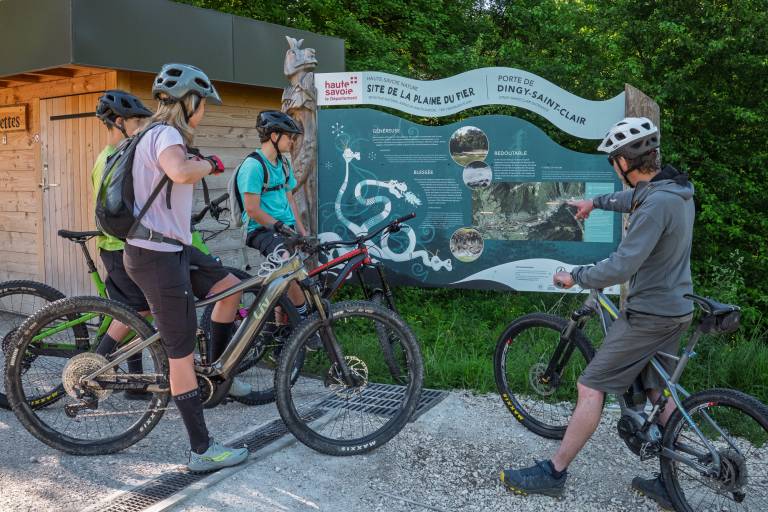
Since 1945, the Plaine du Fier has been the focus of attention, with the aim of preventing the erosion of its bed and stabilizing its banks. In the 1990s, the Département and the Communes acquired the bordering plots of land with a view to drawing up a restoration and physical management plan for the watercourse and classifying it as a Sensitive Natural Area. This has made it possible to open up the area to the public in a gentle and educational way, by means of gateways, paths, crossings, informative furniture and awareness-raising activities. All while preserving biodiversity. These easy trails can be explored by the whole family, on foot, horseback or mountain bike. It's up to you to plan your itinerary according to your time and the abilities of the members of your group.